What Svač is
Svač, known locally by its modern Albanian name Šas, is the ruin of a medieval city that once stood above the small freshwater lake of the same name, about 15 km north-east of Ulcinj. In its twelfth- and thirteenth-century peak it was important enough to host a Catholic bishopric and, according to the standard medieval sources, a cathedral, a parish church, and dozens of smaller churches. It was sacked by the Mongols in 1242, rebuilt, then slowly faded after falling under Ottoman rule in the late fifteenth century.
What you see today is a hilltop scattered with the collapsed footprints of churches, two surviving apses standing in open air, sections of city wall, and cisterns. It is mostly unrestored and almost never crowded. The atmosphere, high ground, broken masonry, the lake below, is the main reason to come.
The drive from Ulcinj
From Ulcinj, head north on the road toward Vladimir, then follow signs for Šas / Svač. The whole drive is roughly 15 km and takes 25-30 minutes. The final few hundred metres up to the hilltop are on a rough unsealed track, passable in a standard rental dry, but you'll be glad of ground clearance after rain. Most visitors park at the bottom of the hill and walk the last stretch, five to ten minutes on foot.
What to see on the hilltop
The site has no paid entry, no ticket office, and minimal signage. Bring sensible shoes, footing is uneven. The most photogenic surviving feature is the tall standing apse of what is usually identified as the Church of St Mary, open to the sky, with clear masonry courses and a narrow lancet window. A second smaller apse, often identified as the Church of St John, stands a short walk along the ridge.
Between the churches you'll find low foundation walls traceable across the plateau, a couple of cisterns, and segments of the outer defensive wall near the crest. Give yourself 45 minutes to an hour for a proper wander.
Lake Šas below
Directly below the fortress sits the small, reed-fringed Lake Šas, one of the best bird-watching spots in southern Montenegro. It is a protected habitat with kingfishers, herons, and, in migration season, a changing cast of waders. A rough lakeside track lets you drive or walk around part of the shore. Swimming is possible in a couple of spots; ask locally or follow paths worn by summer visitors.
A short history
Svač's peak falls in the late twelfth and early thirteenth centuries, when it was a fortified Catholic town under the kings of Duklja and later the Nemanjić Serbian state. It hosted its own bishopric and, according to local tradition heavily quoted in older guidebooks, a church for every day of the year. That number is folklore; the archaeological footprint supports a cluster of churches and a substantial urban area, not 365 of them. The Mongol raid of 1242 devastated the town but did not end it. A slow decline followed under Venetian, then Ottoman rule, and by the eighteenth century the site was abandoned to farming and grazing. The relative isolation since has left the ruins more or less as they fell.
Combining the visit
Svač is a short half-day in itself, and pairs well with a return via Ulcinj's Ottoman Old Town for a late lunch on the ramparts. The route also intersects the roads down to the old olive groves at Valdanos if you want to stretch the day.
Why it's worth the drive
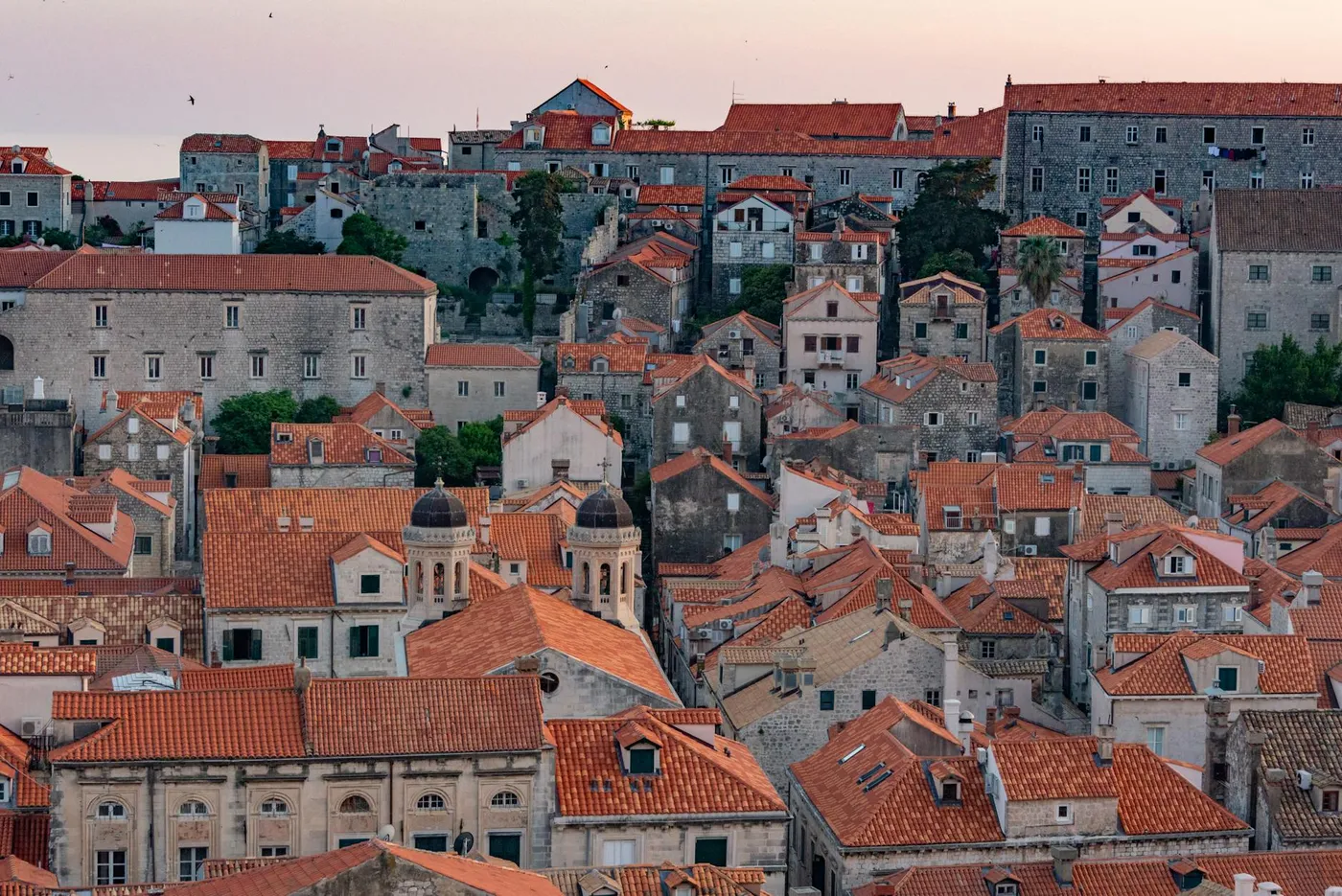
Svač is one of those sites that rewards low expectations. It isn't restored, isn't signposted, and has no café. What it offers instead is a rare thing in a developed coast: a substantial medieval ruin you can walk among almost alone, with no gate and no script. The standing apse against the sky, the lake below, the fact that almost nothing here has been "improved", these are the experience. It pairs particularly well with Ulcinj's Ottoman layers as a contrast: the Old Town's inhabited continuity against the fortress's complete abandonment, all inside a 25 km loop.
Practical tips
- Entry: Free and unstaffed. Leave nothing of value in the car.
- Season: Spring (wildflowers, greenery, birdlife) is the best time. Summer midday is exposed and hot, go early morning or late afternoon.
- Footwear: Closed shoes. Loose stones, hidden holes, snakes possible in warm months.
- Difficulty: Easy walking once you're on the hill; the short approach track is the only awkward part for vehicles.
- Water & shade: Bring both, there is no café, shop, or shelter on site.